Backpacking the Lost Coast Trail
The Lost Coast in the Kings Range National Conservation Area of Northern California is a popular destination for backpackers for its unique and challenging trail that features an abundance of natural coastal beauty. My friend, Liam, and I were lucky enough to find the time to get to do a three night backpacking trip to get to experience some of this amazing wilderness.
Planning a trip on the Lost Coast trail is a bit like solving a puzzle due to the tide’s ability to make certain sections of the trail completely impassible. Portioning and timing the days of your hike so that you can pass these sections at low tide is necessary and can be tricky as the low tide can fall at any time and may only last a short period. Thankfully, NOAA provides an online tide prediction tool that lets you view and print tide charts that accurately predict the tide years in advance. Once we had our tide chart printed out and our route set it was a pretty fun puzzle to put together of how we would need to time and section our hiking so that we would make all our passes at low tide.
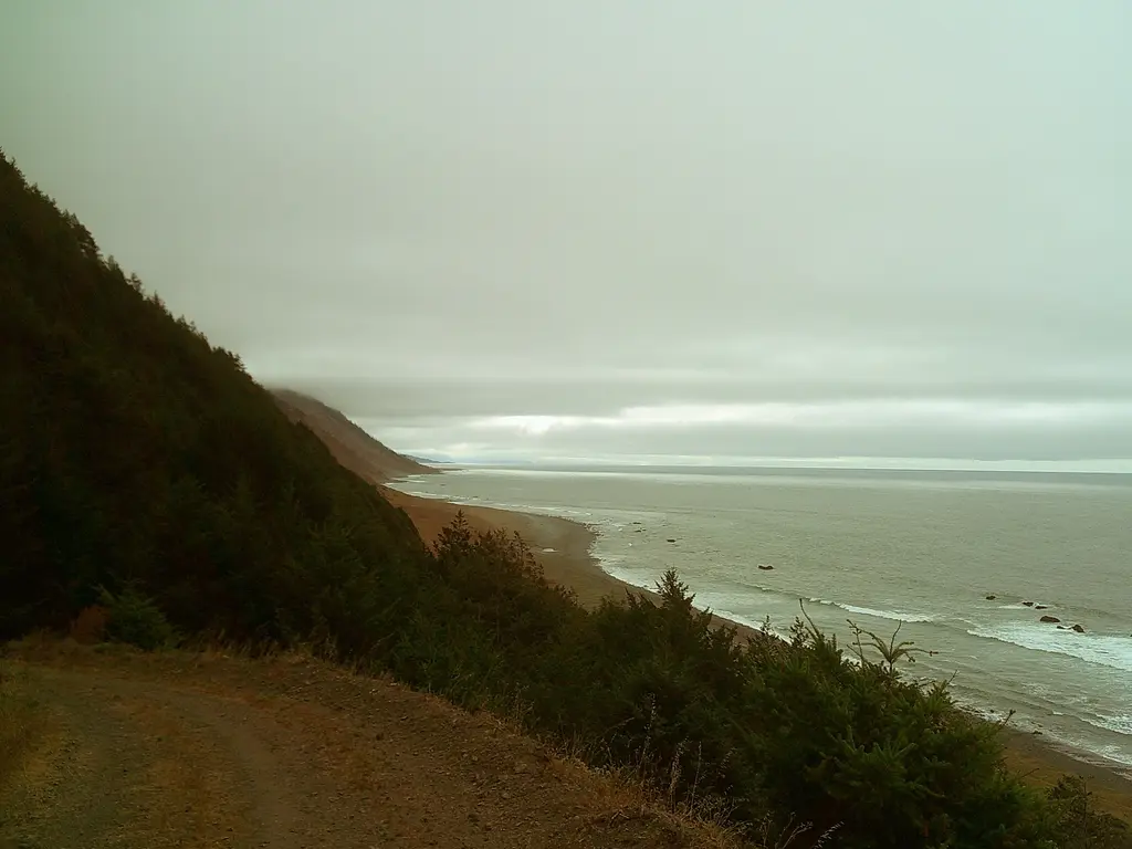
We started out fast from the Southern end of the trail at Black Sands Beach, but we quickly slowed as we realized there was simply so much cool stuff that we would have to stop and admire something every ten or so feet. Within the first couple of miles of our trip we were greeted with huge squadrons of pelicans flying low across the ocean, a surprised sea lion that was taking a bath below a coastal waterfall, and at least two pods of humpback whales that seemed to be feasting on some unseen fishies. On just our first day of hiking we had both been blown away by the amount of wildlife we had seen. We set up our camp at Big Creek and got some great rest from the triforce white noise of the babbling creek at our left, the ocean waves right in front of us, and the crickets in the field behind us.
In the morning we quickly packed up our beachside camp ground before continuing on our trek. In the sand of the beach we saw fresh tracks of a tiny bear and a larger bear, probably a mother and her cub. Before we started our climb we walked by a hiker going in the other direction who said that he had seen the two bears pass him at his camp early in the morning and decided to spend a few hours trailing the bears along the beach?! On our hike we passed by tons of bear scat, fresh and old, filled with manzanita berries, but never saw a bear on our trip.
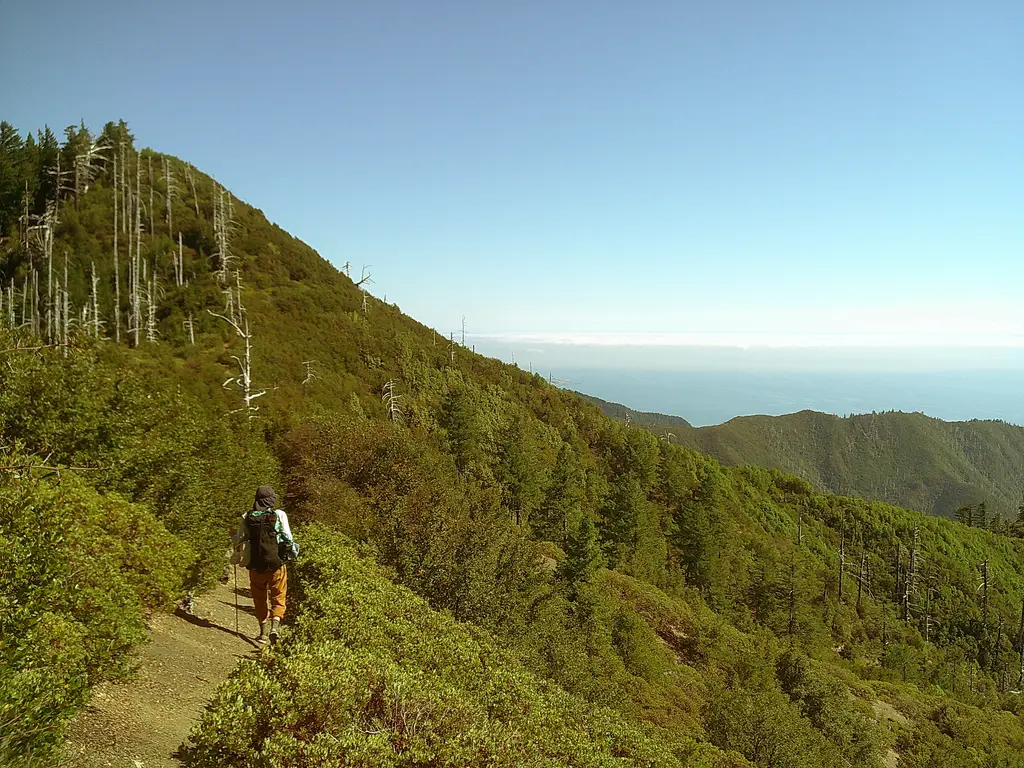
We had made good time going up twelve miles and gaining over 3000 feet in elevation when we learned the hard way that just because a map shows that there is a creek, it does not mean that the creek is perennial. Despite a lush looking grove of ferns and a swamp-sized cloud of gnats, we were cruelly lied to by the old wooden post marked “spring”. So we took out our map and decided to push ourselves over the next ridge to camp at Bear Hollow. When making a climb never assume you can see the top. I recall remarking that the climb “hadn’t been that bad” before realizing around the bend was another one million switchbacks up the mountain.
Once we made it to Bear Hollow with just a few sips of water left in my Camelback, we rejoiced that a god must exist as we found a bucket sized hole of dirty water into which was the smallest dribble of water. It was all we needed. After much needed hydration we assessed our surroundings and found ourselves in a small clearing of dirt within a huge field of manzanita with the tracks and scat of bears all about. It seemed unclear if Bear Hollow camp was meant for the bears or hikers. We began to reminisce about how camping on the beach was so very nice and after hiking 15 miles, what’s a few extra? So we decided we would brave our way back down the mountain with a bit of night time hiking and kindly let the bears have their space.
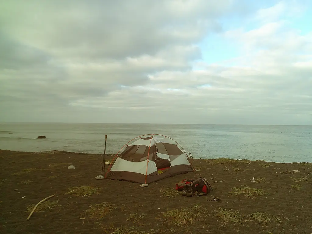
At first we were having a great time; we were zooming. We even got to wash off in a creek we passed (we both got strong whiffs of sulfur that could’ve been from the fact that we had just hiked 15 miles up a mountain or that there may be an undiscovered hotspring nearby!) However, once the sun set the trail became difficult to follow as the trail crossed the creek several times and had large sections that were washed out. After being saved by a few trail marking cairns and Liam’s super bright flashlight, we were setting up camp again at the beach under some of the best stars I have ever seen.
The next day we were feeling like a couple of desert island castaways as the high tide meant we couldn’t continue back down the coast until late in the evening. So we had the whole day to spend at Big Flat and enjoy the nature. On our first day we had encountered at least a dozen campers at Big Flat but it seems they had all continued down the coast and we were left to ourselves. We found a shaded grove by the creek to set our packs down and then spent the rest of the day coming up with all the games we could think of. We played some of the classics like Throw the Rock at the Rock, Throw the Rock on Top of the Rock, Balance the Rock on the Rock, Pickup the Big Rock, Get the Rock Closest to the Rock, Skip the Rock Between the Rock, and Balance the Rocks on Top of the Balanced Rocks.
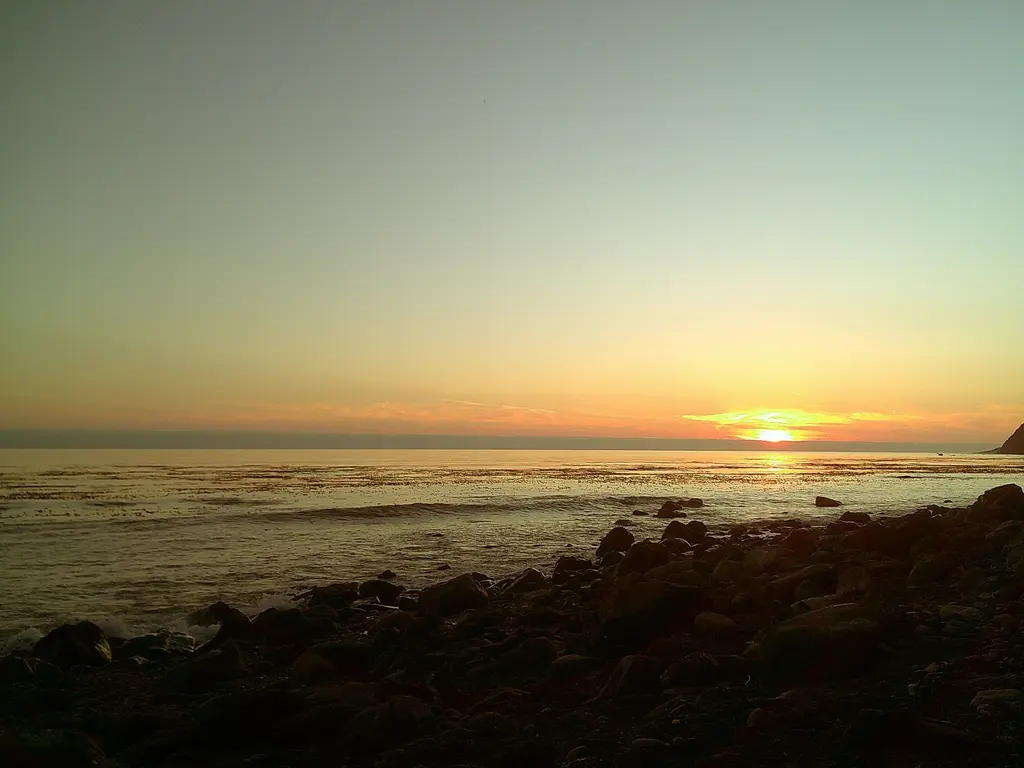
Once the tide had begun to lower we made our way back down the coast to complete our loop and spent the night at Gitchel Creek before packing out the next morning. At Gitchel Creek we got to watch humpback whales feeding in front of a stunning sunset all while I got to eat an equally stunning meal of Mashed Ramen(top ramen mixed with instant mashed potatoes, which I highly recommended to people without standards for the consistency of their food).
Useful Links For Planning a Lost Coast Backpacking Trip:
- NOAA Tide Chart Tool
- Map of the King’s Range Wilderness
- All Trails Map of our Attempted Hike
- Tide Guide
- Interactive Tide Chart
- Seven Principles of Leave No Trace